- Distance: 22 miles RT
- Elevation range: 8374′ to 14,505′
- Gross: +6131′ / – 6131′
- Wilderness permits: Permit is required for overnight or day use, but reservations are not needed between Nov 2nd and April 30; Pick up permit at the Mt. Whitney Ranger Station in Lone Pine
This is my second trip to the summit of Mt. Whitney. In October of 2013, I did an overnight trip. I camped at Trail Camp (12,000′), and it was one of the coldest nights I have spent outdoors. During the previous week, a storm had rolled through the Sierra and several feet of snow had fallen at high elevation. The tarn at Trail Camp was frozen over by the time I reached camp at about 3pm. Fortunately, the wind did not make an appearance, but the temperatures hovered around 10°F during the night.
This time around, I decided not to deal with the extra weight required for camping overnight. I was also looking forward to the challenge of hiking Mt. Whitney in a day. I drove to the eastern Sierra on Saturday and picked up my permit at the Mt. Whitney Ranger Station in Lone Pine. After November 2nd, there is no need for permit reservations, and it’s fairly easy to obtain a permit for day or overnight use. The only concern is the weather this late in the season. This weekend, though, was going to be cold but without precipitation.
After picking up the permit, I headed to Whitney Portal. I’d be spending the night at the trailhead. My plan was to start hiking at 2am on Sunday morning. I expected it would take me 10 hours to reach the summit, I would spend a half-hour at the summit, and it would be another 6 hours to get back to the car. So at 7pm, I went to bed to get some rest and sleep.
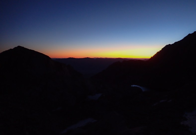
I left the trailhead at 2:30 am. It was 20°F outside but without any wind. The sun would not be rising for another 4 hours, so until then, it was hiking in the dark with a headlamp. It was actually a nice experience. Because I could not see beyond the beam of my headlamp, my brain wasn’t processing the distance, and it was one less thing to think about. I knew it was 11 miles one-way, but there’s usually a visual impact when you see your destination as a point in the distance, and it seems like you’re getting no closer.
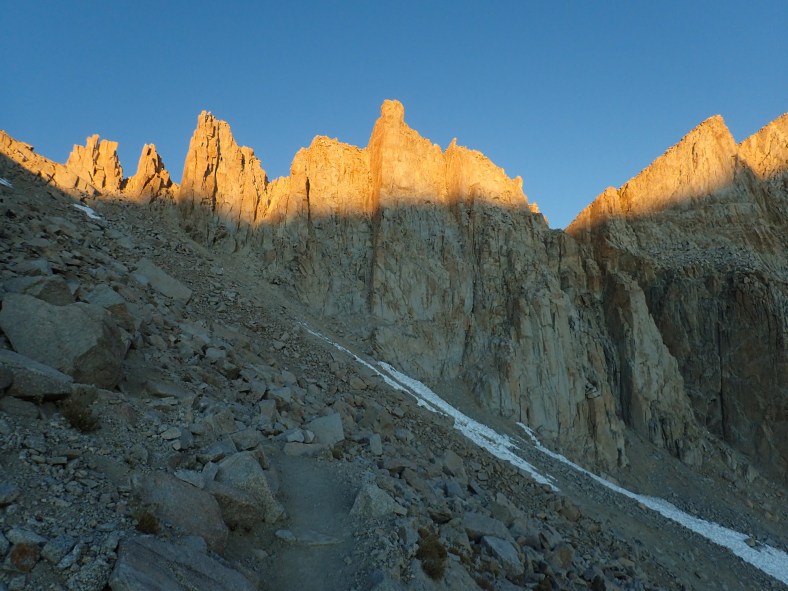
I passed a handful of hikers along the way, but otherwise it seemed like I was alone on the mountain. I could hear streams flowing under frozen-over creeks, creatures moving through the brush, light breezes rustling the leaves on the trees, and the sky covered in bright pinpoints of lights, including the Milky Way. One of the most amazing sights was upon reaching Trail Camp. At this point, one comes face to face with the 99 switchbacks leading to Trail Crest. In the dark of night, the only thing visible was the headlamps of hikers heading up the trail. It was like a beam of light was marking the way up the switchbacks.
Other hikers were rousing out of their sleeping bags, fixing breakfast, and ready to head towards the summit. It occurred to me that one of things I find difficult is leaving my cozy sleeping bag into the biting cold of an early morning start. I was glad I was already warmed up after 6 miles of hiking. I thought of taking a break and enjoying the break of dawn, but my competitive spirit wanted to continue and catch up to all those lamps already heading to the summit. And so onward I continued!
Sunrise on the switchbacks
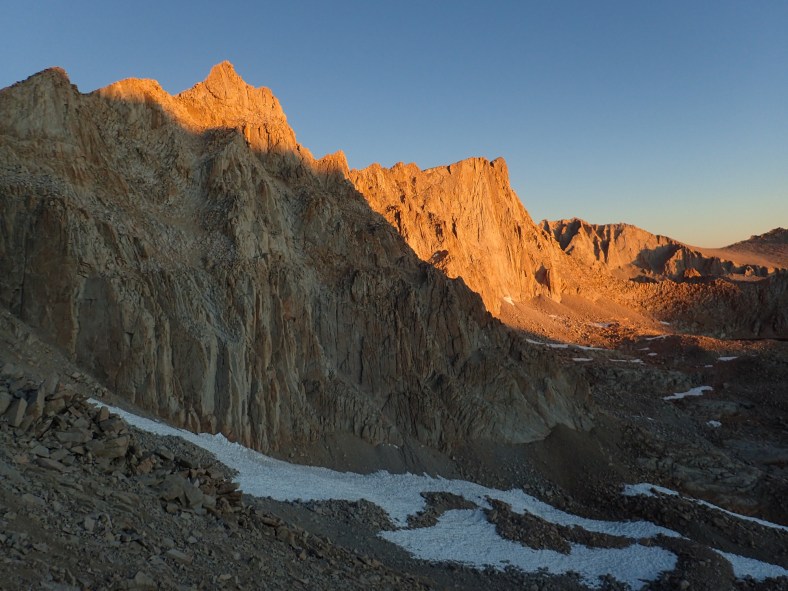
99 Switchbacks from Trail Camp to Trail Crest
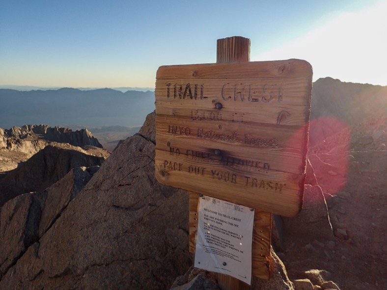
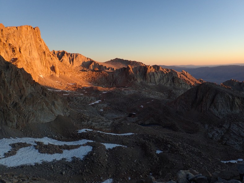
Trail Crest (13,600′)
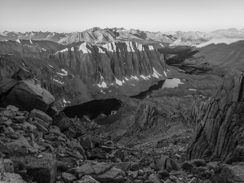
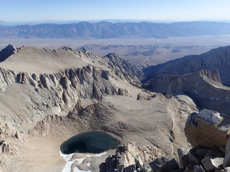
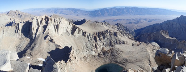
Glimpse into Sequoia National Park
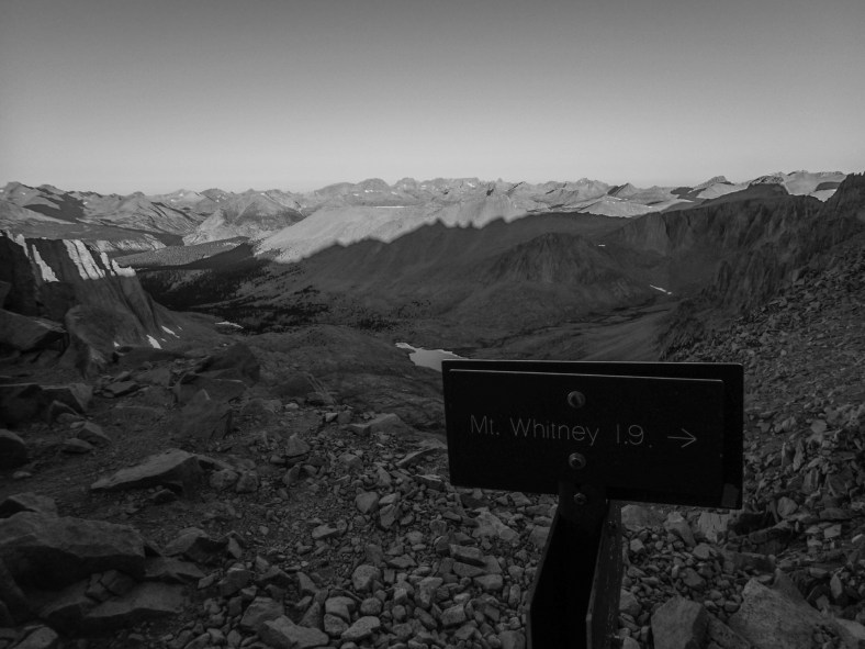
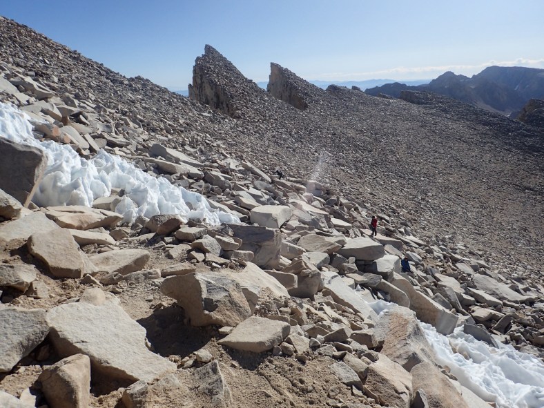
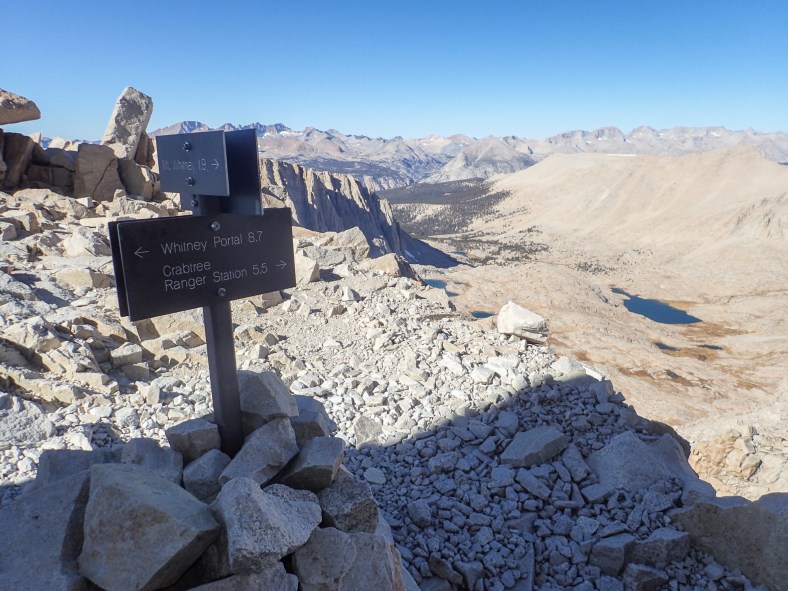
Just 1.9 more miles to go…
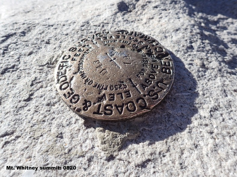
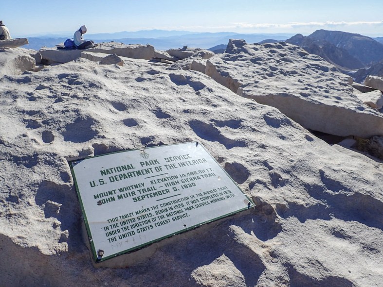
Survey marker
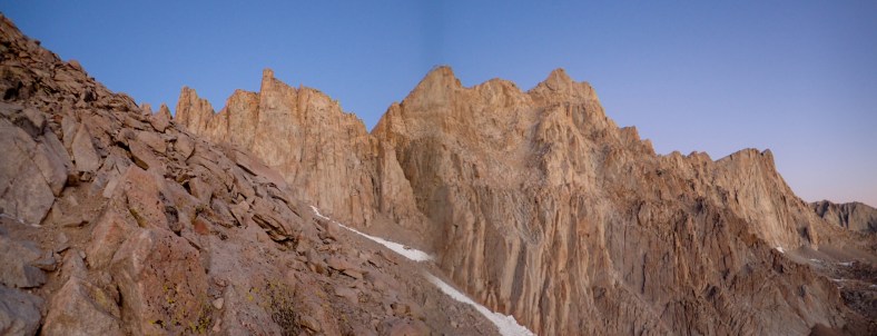
I reached the summit at 8:20am, 4 hours earlier than I thought. There were 4 other people already there snacking and taking photos. I spent about 30 minutes on the summit, catching my breath, stretching, taking photos, and wondering if I’d ever be able to climb Whitney’s East Buttress, a 5.7, 1000′, alpine route. The thin air at this elevation makes hard work even harder.
View across Owens Valley to the Inyo Mountains
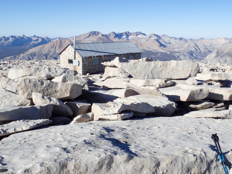
Smithsonian Institution Shelter
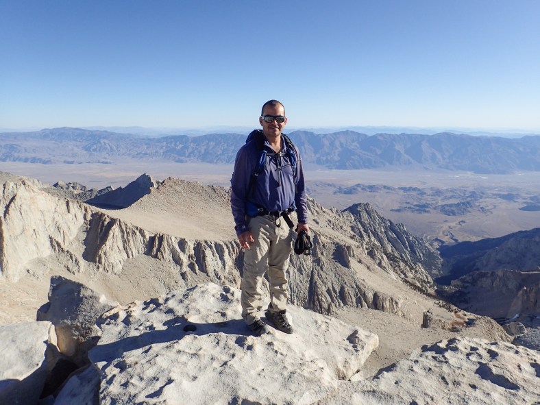
Me
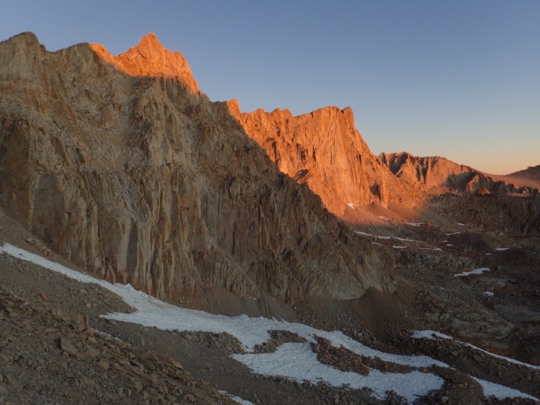
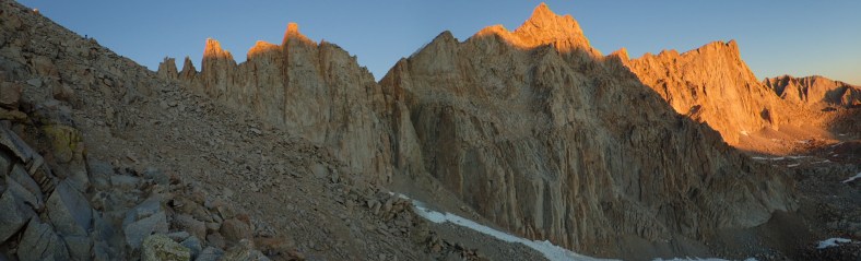
I headed back down the mountain at a slower pace and taking more photos along the way. I had a spring in my step from having reached the summit in 6 hours.
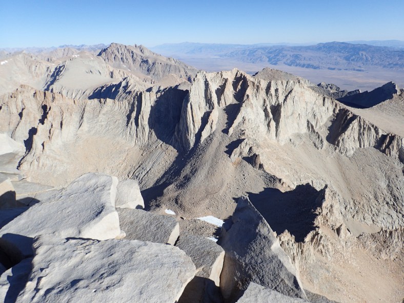
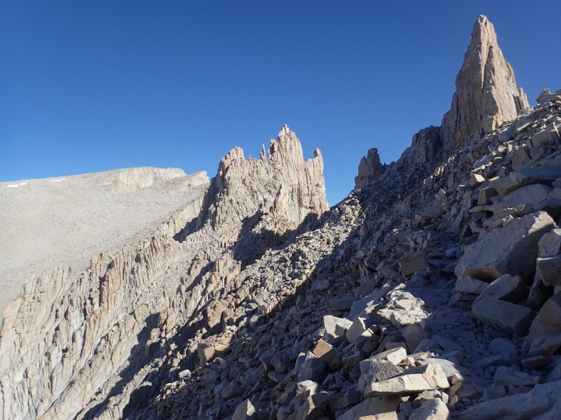
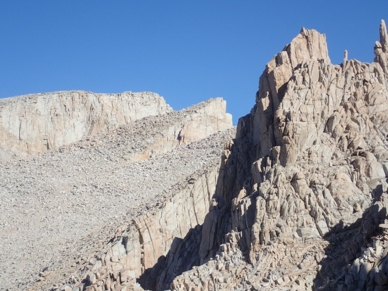
Needles, Peaks, Aiguilles
View into Sequoia National Park
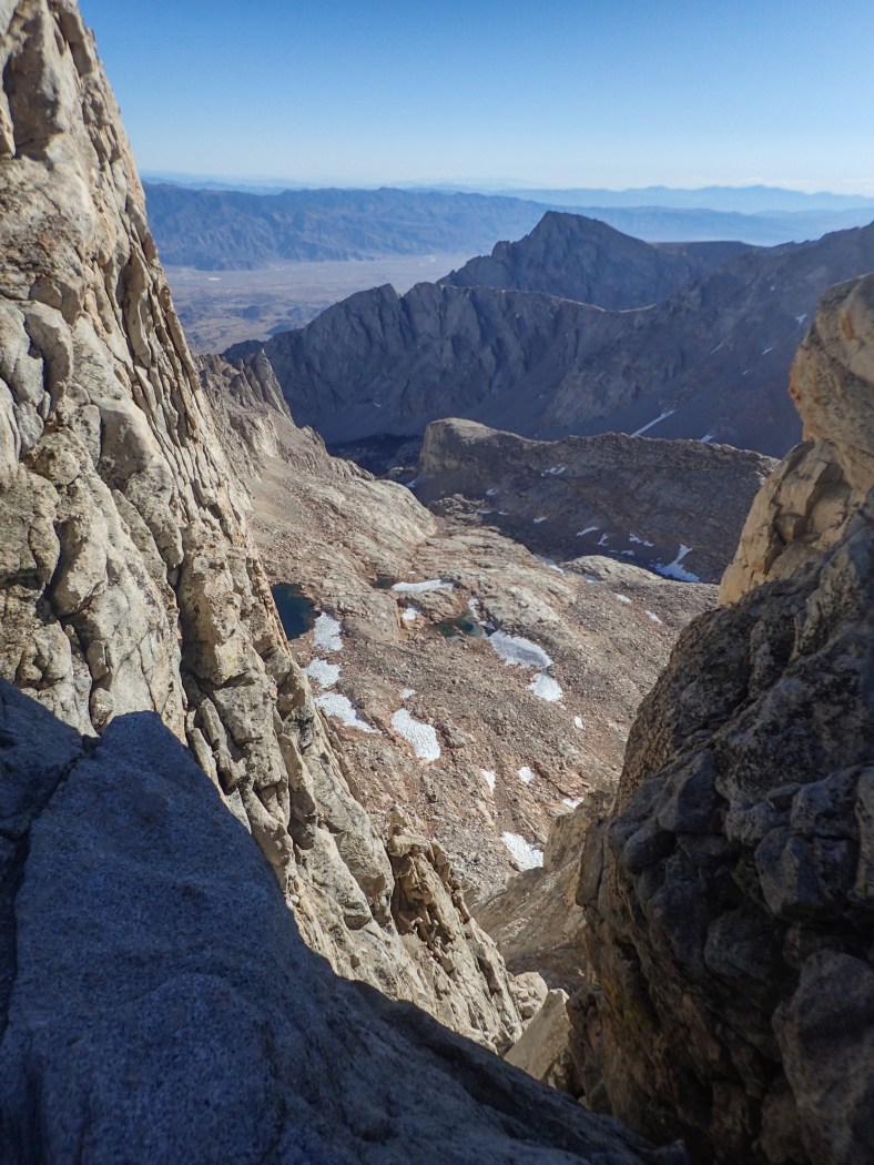
View through one of the many windows along the trail
Mt. Hitchcock
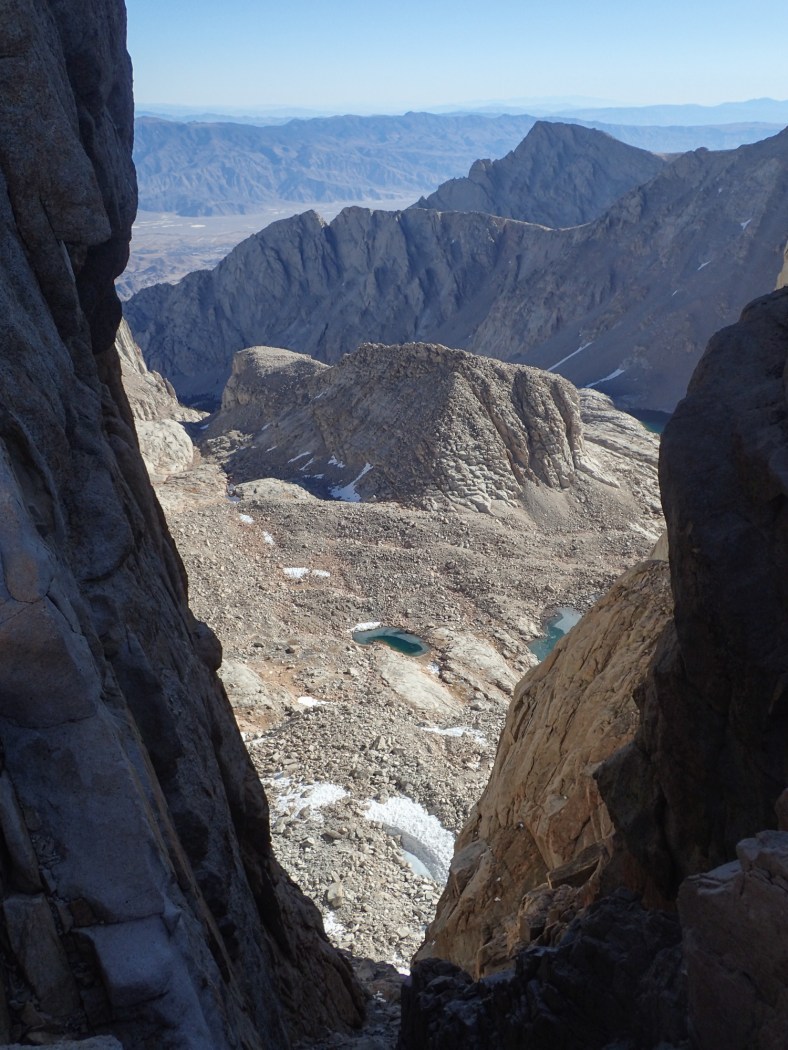
View through one of the many windows along the trail, Wotans Throne
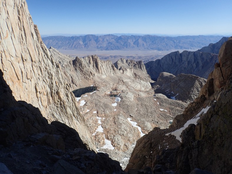
View through one of the many windows along the trail
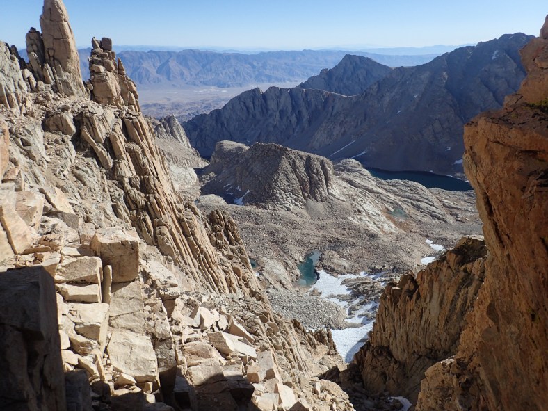
View through one of the many windows along the trail
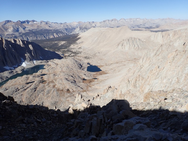
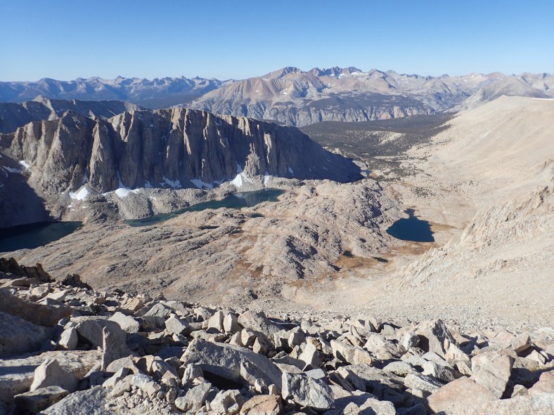
Guitar Lake
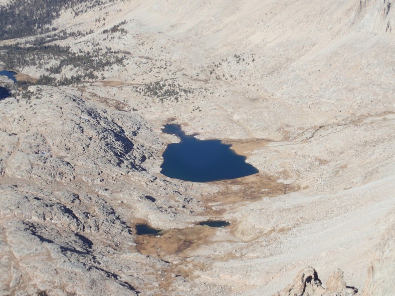
Guitar Lake
Mt. Whitney summit in the far distance
Mt. Whitney summit in the far distance
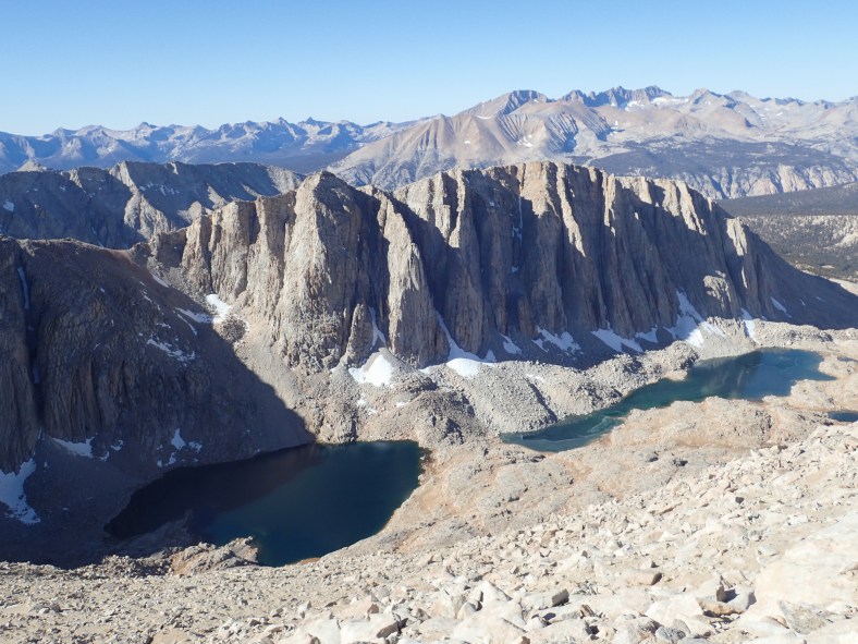
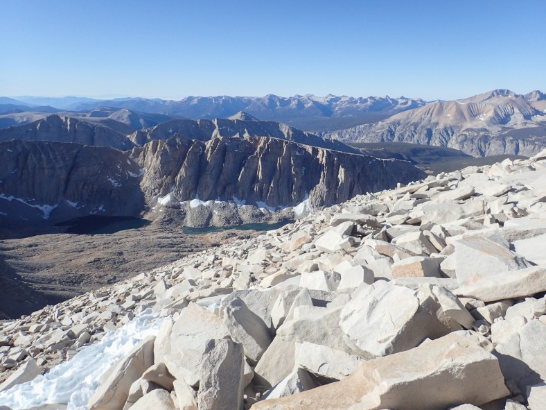
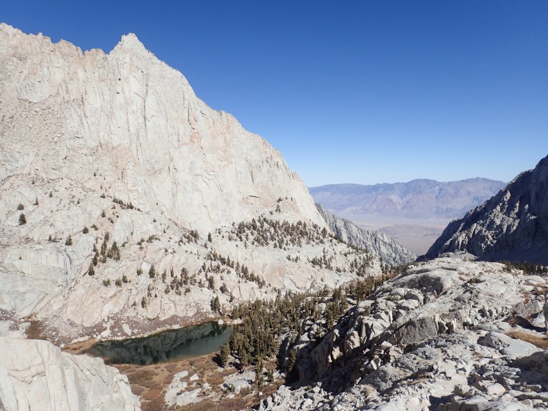
Hitchcock Lakes
Two paths diverged in a tallus field…

Beauty in the mountains
Trail Camp (12,000′)
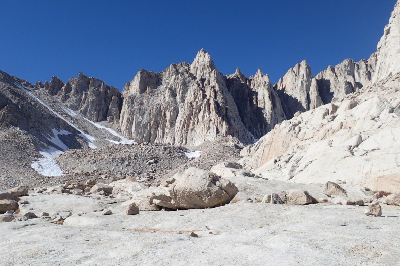
Peaks, spires, needles
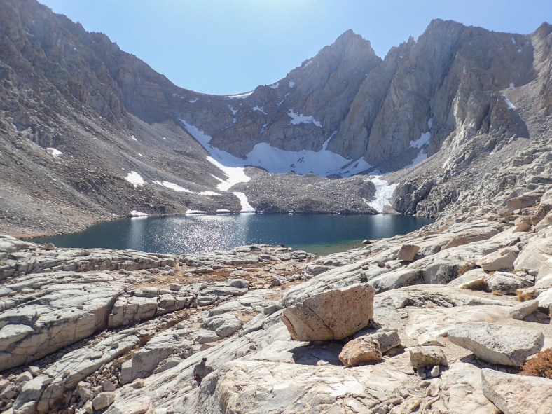
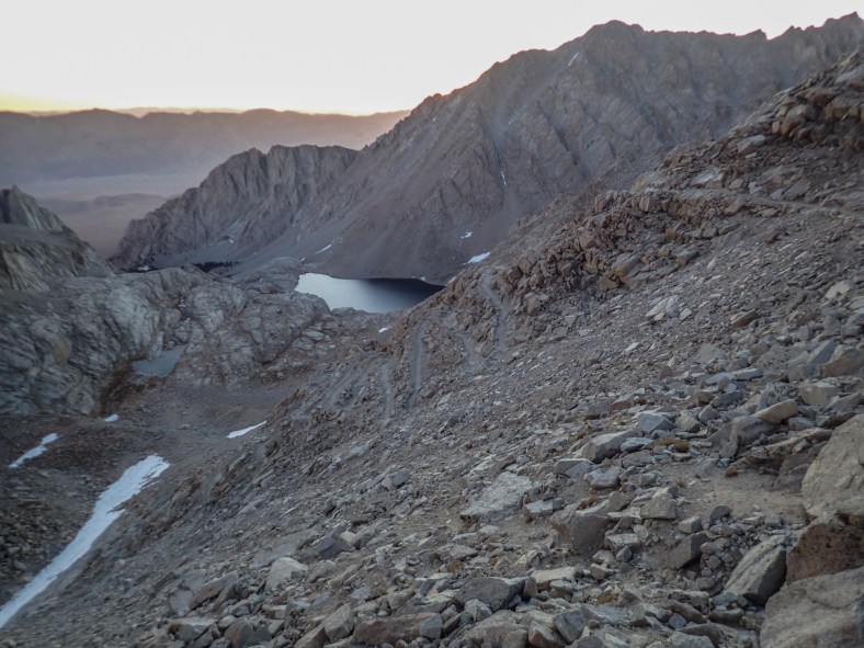
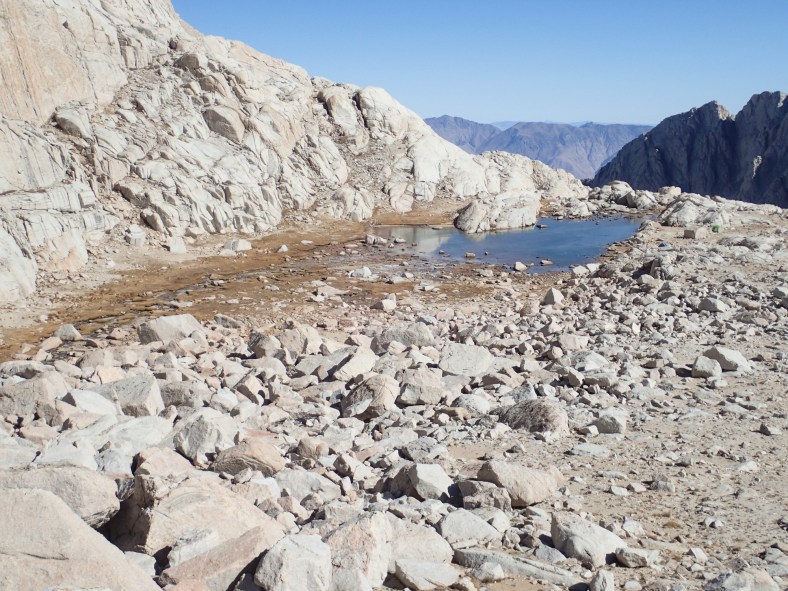
Consultation Lake (11,680′)
Mirror Lake
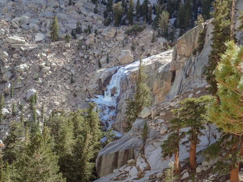
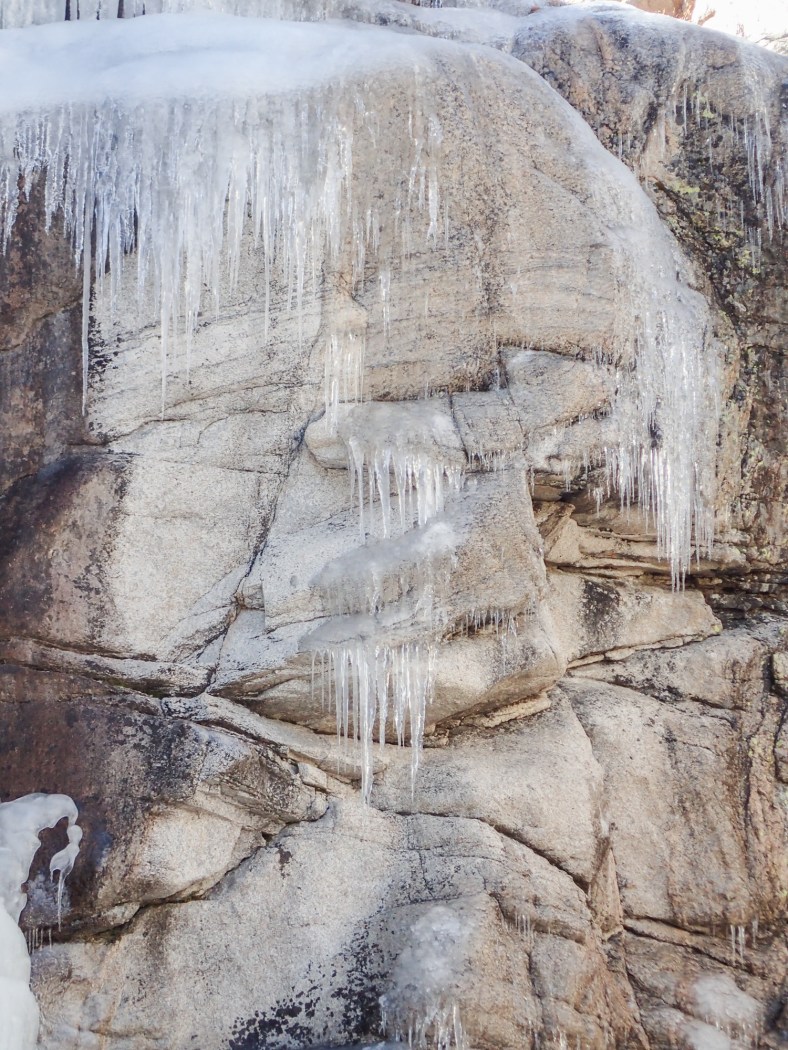
Frozen waterfall along Lone Pine Creek
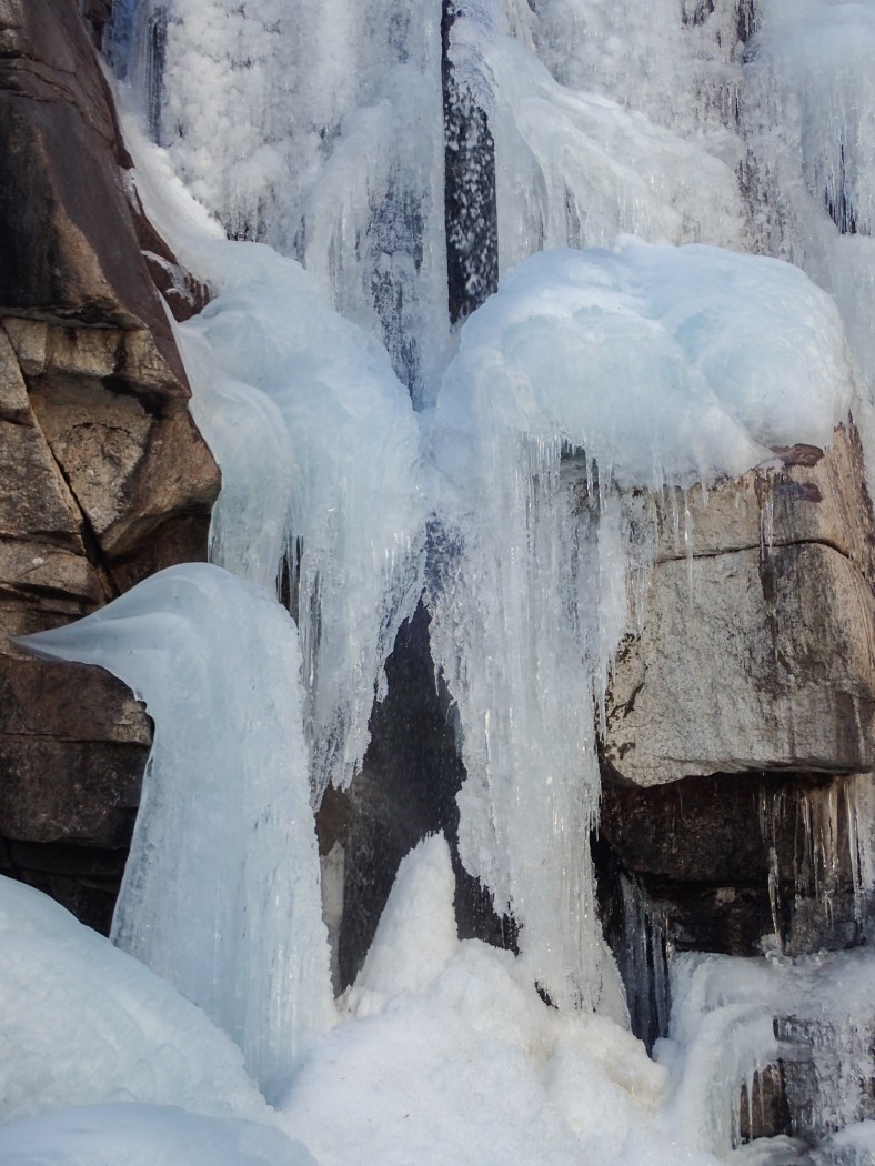
Ice sculptures
Ice sculptures
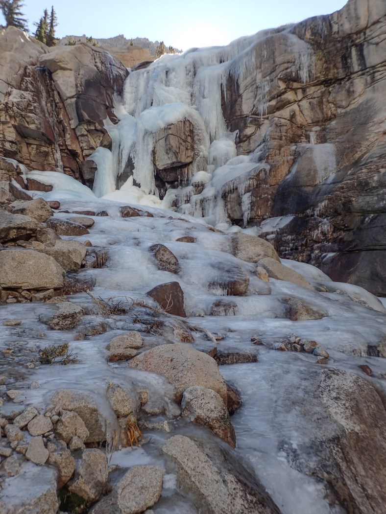
Frozen waterfall along Lone Pine Creek
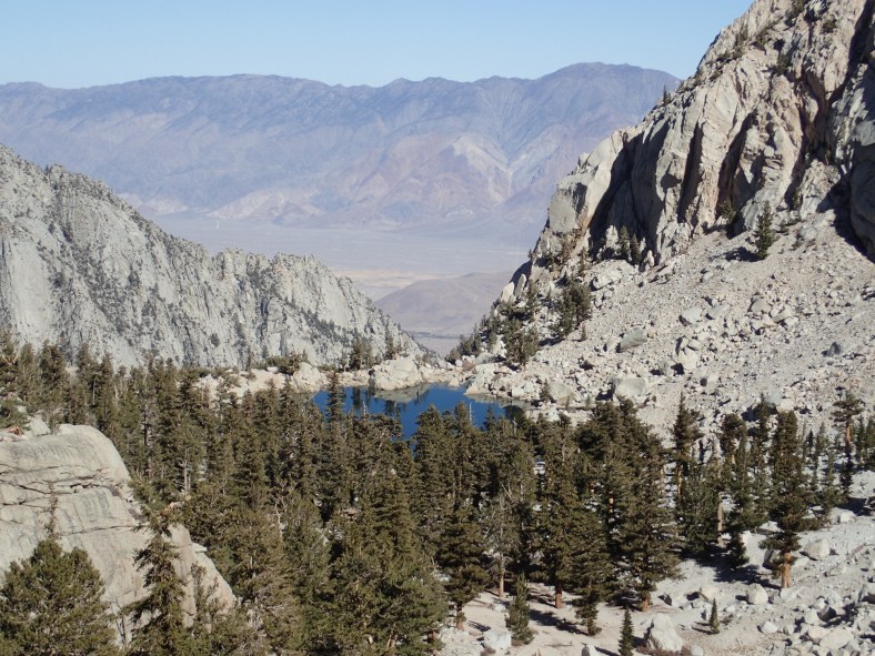
Lone Pine Lake
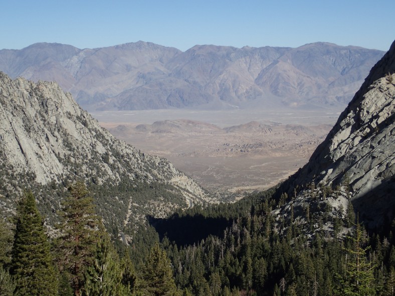
Owens Valley, Inyo Mountains
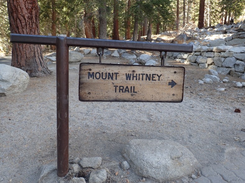
Trailhead sign at Whitney Portal
I reached the car at 1:45pm, finishing my trip in 11 hours and 15 minutes. I was exhausted, a bit sleepy, but happy and feeling great about the whole day. It was now time to go find dinner and start driving home.
