- Distance: 22 miles
- Elevation range: 6275′ to 10,320′
- Gross: +6165 / -6157′
- Wilderness permits: Permits are required but free; call to make a reservation; pick up at any Stanislaus National Forest Ranger Station
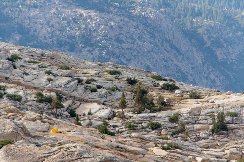
The Lewis Lakes, along with Sardella Lake, Ridge Lake, and Iceland Lake, are a set of alpine lakes located in the north end of Emigrant Wilderness. They sit at an elevation of between 9000′ and 9500′ near the northern slopes of Granite Dome (10,320′). Easy access is via Kennedy Meadows following the trail for about 7 miles. Leave the trail at Summit Creek, and then head cross-country above the treeline on never-ending slabs of granite.
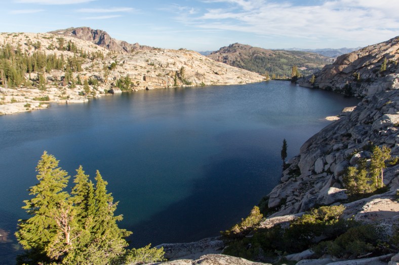
Along the way you’ll cross a footbridge near the confluence of Kennedy Creek and Summit Creek before reaching expansive views at Relief Reservoir. You will have climbed about 1000′ by now, so it’s a great spot to take a break. Consider it a visual appetizer before the main course in another 4 miles.

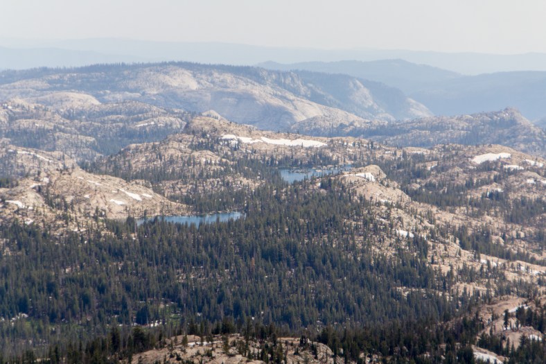
Relief Reservoir
Idyllic scene at Grouse Creek
Wildflowers
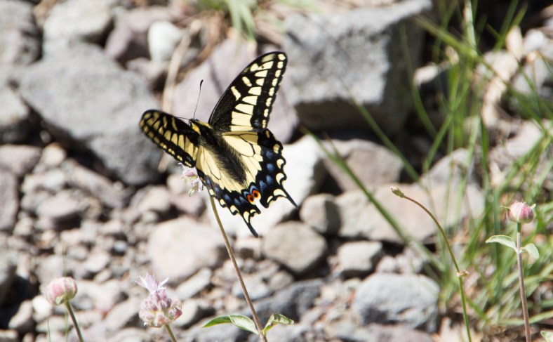
Western Tiger Swallowtail (Papilio rutulus rutulus)
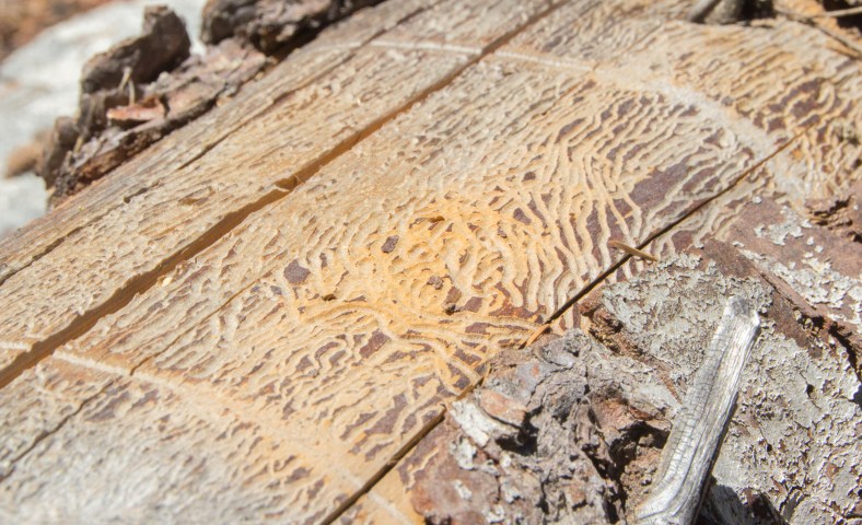
Beetle galleries
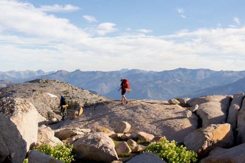
Three of us met at the parking lot on Saturday morning. I had been on a trip with Alex a few months earlier in the summer. This guy hiked in shorts, a t-shirt, and sandals in freezing cold weather across fields of snow without ever losing his happy mood. He showed up with his friend Vlad, whom I had not met before. And he also showed up in sandals. I worried a bit whether I’d be able to keep up with these two tough Russian kids.

Alex
Vlad
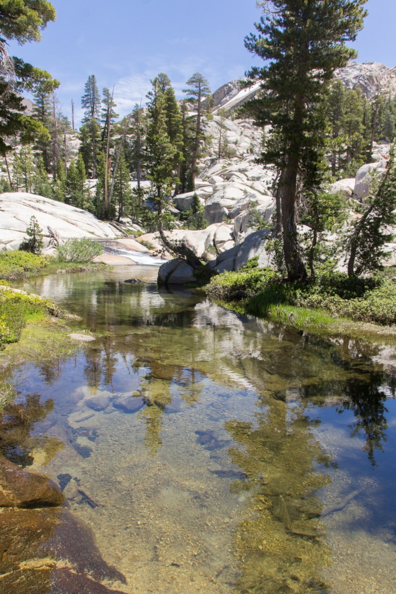
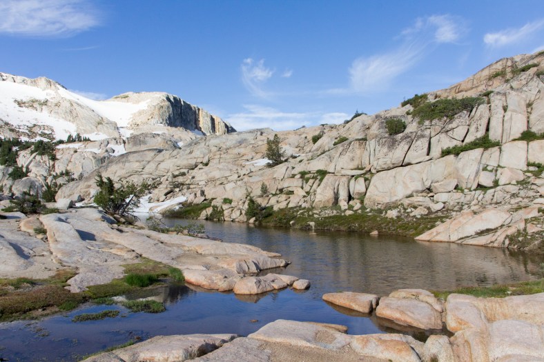
Enticing pool of water
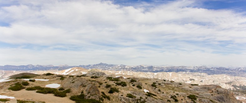
Peaks as far as the eye can see
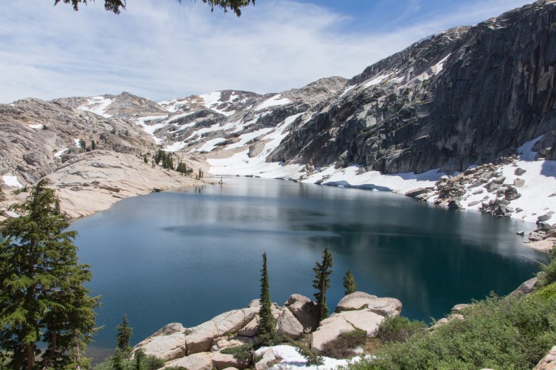
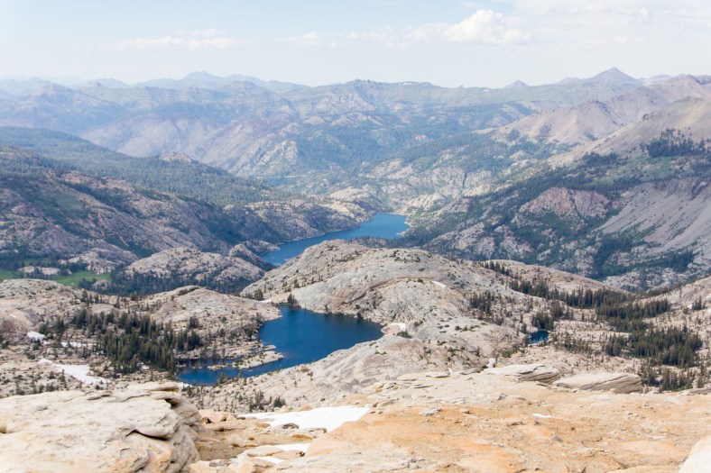
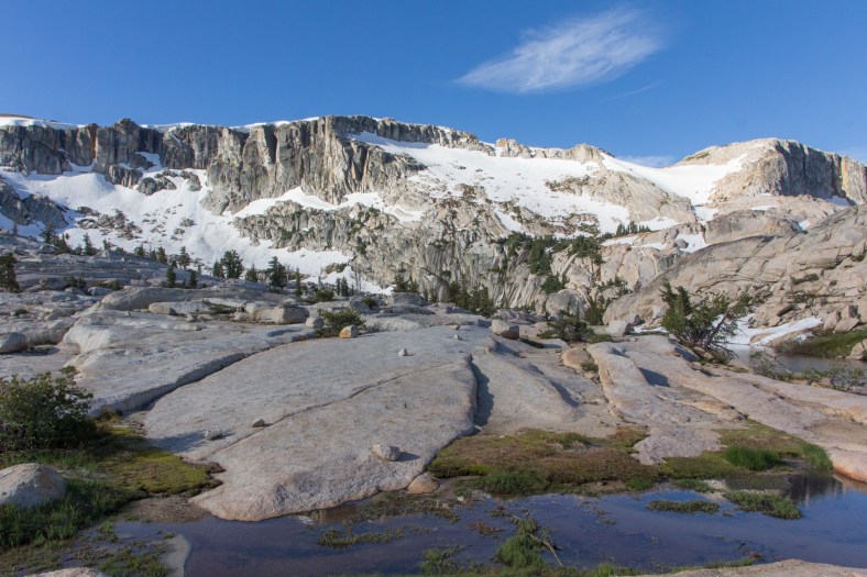
The scenery has been fantastic since we left the trail, but once we reach the middle of the Lewis Lakes, it is utterly impressive. On one side of the lake there are granite slabs sitting in for sandy beaches, and on the opposite shore, vertical cliffs gouged many years ago by glaciers rise imposingly above the lake.
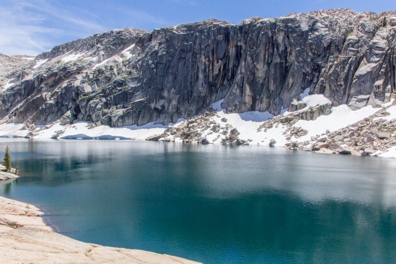
Middle, and largest, of the Lewis Lakes
Another view of the middle of the Lewis Lakes
Beautiful granite

Vlad and Alex
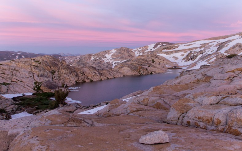
We continued on to the upper Lewis Lake. More breathtaking views? Yes, they never end here. Alex and Vlad waded along the shore lake near some ice floes. I could not build the courage to dip more than my feet for a short short while, just enough to cool down. We camped at the saddle between Sardella Lake and the upper of the Lewis Lakes, and had unobstructed views of the high country.

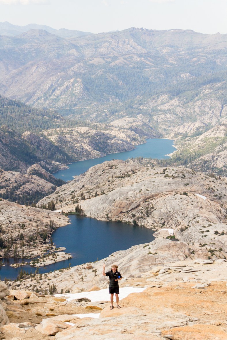
Upper of the Lewis Lakes

Another view of the upper of the Lewis Lakes
Sardella Lake

Alex photographing Sardella Lake
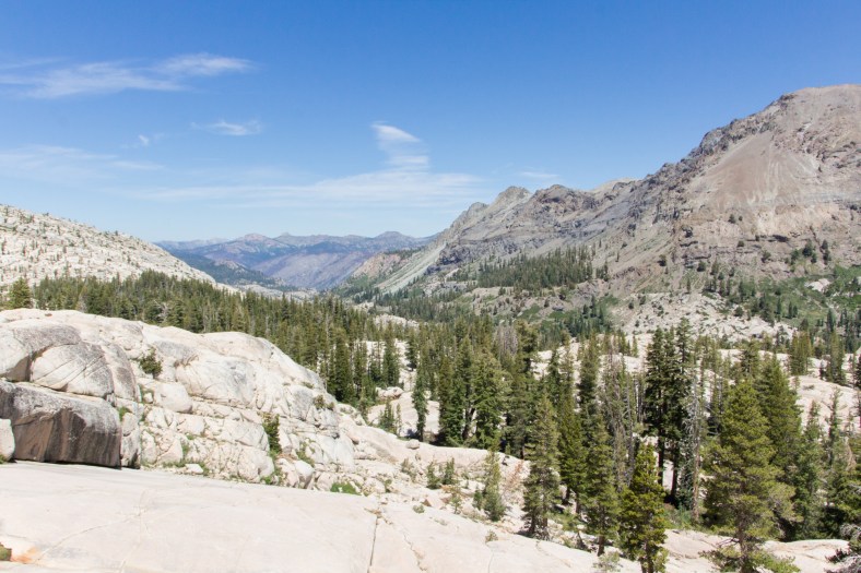
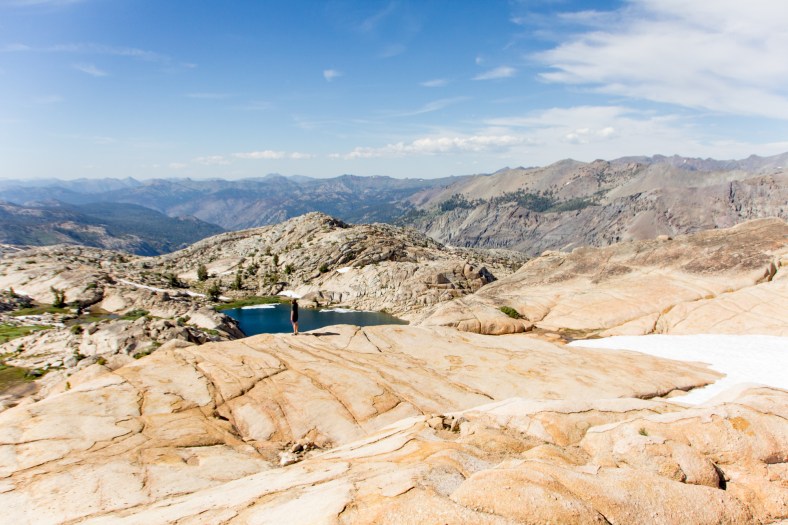
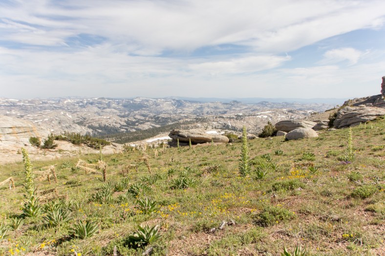
After setting up our tents and eating a snack, Alex and I headed towards the summit of Granite Peak. At 10,320′ elevation, it is one of the tallest peaks in the area. From our camp, it is a relatively easy hike to the summit. The effort required to get there is offset by the unique landscape encountered along the way and the views of the myriad lakes visible for miles and miles. To the north, there is Lower Relief Valley, Iceland Lake, and Relief Reservoir; to the west, a glimpse of Castle Rock; to the south, Long Lake, Wires Lakes, and the granitic landscape of Emigrant Wilderness.
View of Emigrant Wilderness – green gentians reaching for the sky

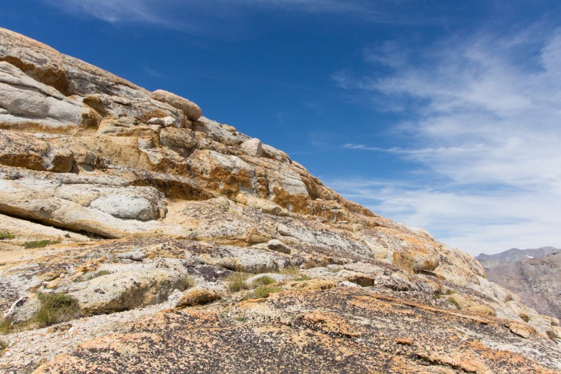
Weathered granite boulders

Granite Dome marker (10,320′)
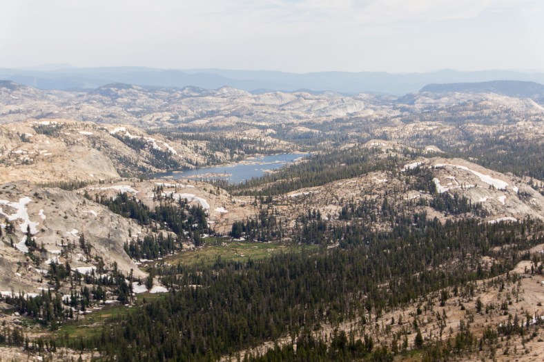
Iceland Lake and Relief Reservoir
Alex, Iceland Lake and Relief Reservoir
Relief Valley nestled between ridges
Long Lake
Wire Lakes
Emigrant Wilderness

Castle Rock (9600′)
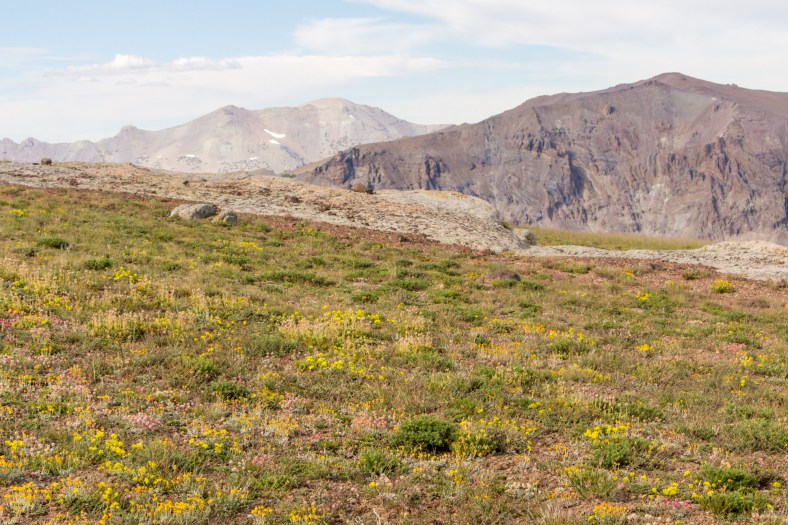
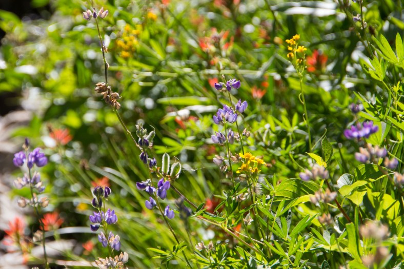
More wildflowers carpeting the landscape
This was the first time I noticed the monument plants, also known as green gentians. They are a single stem with many flowers surrounding the stem, and they can reach up to 6′ in height. So they literally stand out above the other vegetation which prefers to hug the soil.
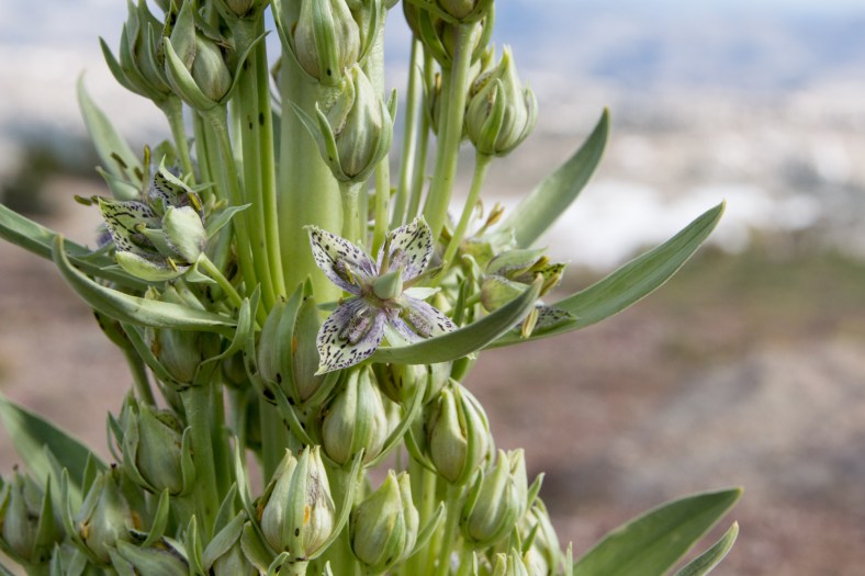
Monument Plant (Swertia radiata)
Camp with a view

Alex strolling down a snow field

Upper of the Lewis Lakes

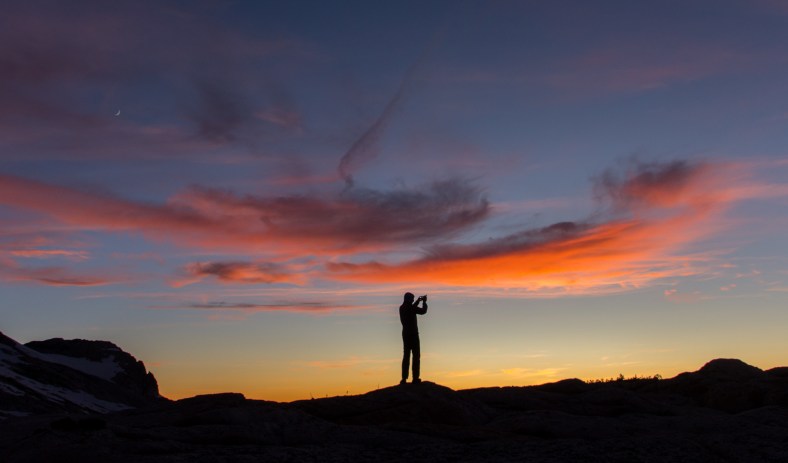
The wonders of nature,

the sun painting the sky,
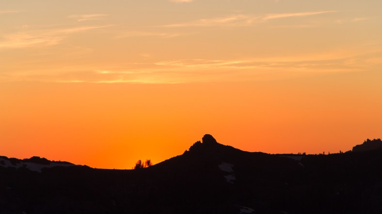
bidding farewell to another day,
and leaving us with a surreal scene.
Vlad
The next day, we continued our cross-country travel. We descended between Ridge Lake and Sardella Lake towards Iceland Lake. The plan was to hike down to and across Relief Valley and join the trail which would take us back across Summit Creek to our original trail. In an attempt to reduce some miles, we looked for a way down the north face of Peak 9113′, but we cliffed out and had to retrace our steps to more forgiving terrain. A few hours later, looking back from across Relief Meadow, we could see how challenging it would have been descending Peak 9113′.

Ridge Lake
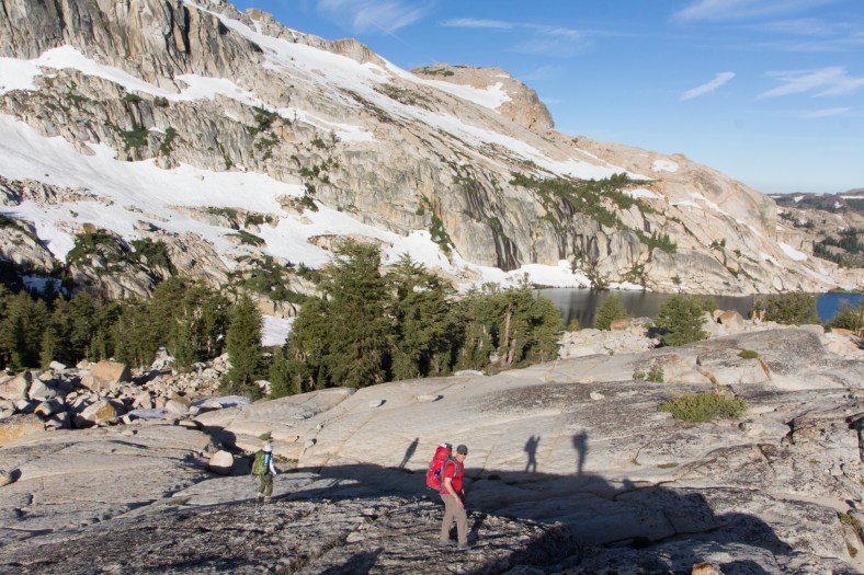
El, Radwan, and the photographer’s shadow
Vlad and Alex
One last look at Ridge Lake
Granite Dome is behind and above this ridge
Iceland Lake
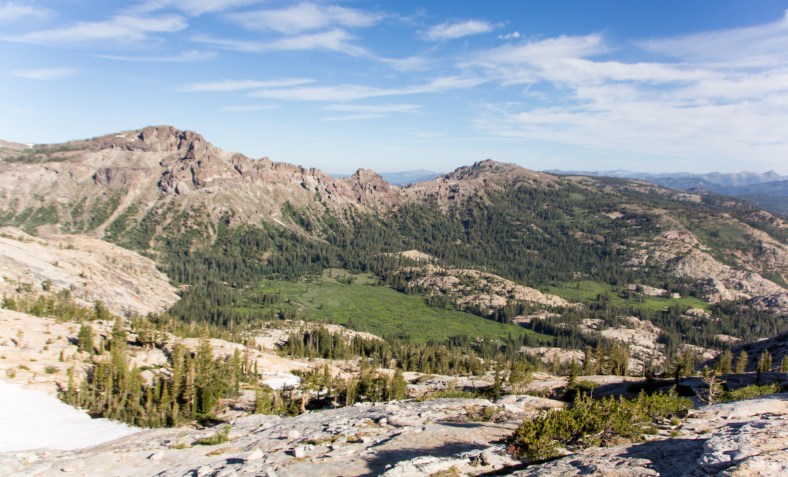
Relief Valley

Infinity pool
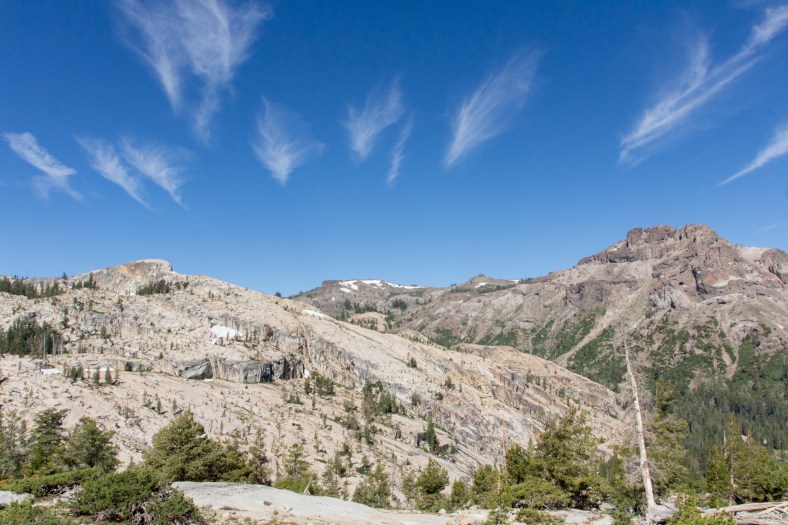
Cirrus clouds, aka “mare’s tails”

Peak 9113′
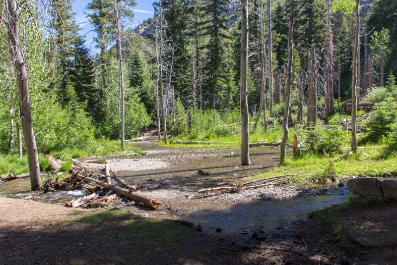
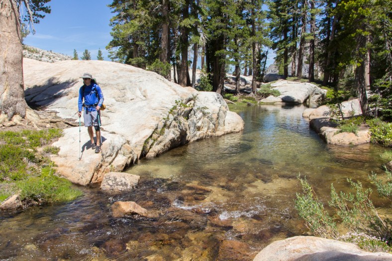
Back on the maintained trail, we followed Summit Creek, sometimes on cliffs several feet above the creek, and at times right alongside the creek. At the point where the trail crosses the creek, we had to wade across knee-deep water water and over rocks. Even at mid-afternoon, with the sun out, the water felt freezing cold. From here it was a matter of following the trail back to Kennedy Meadows and to the cars.

Break time at Summit Creek
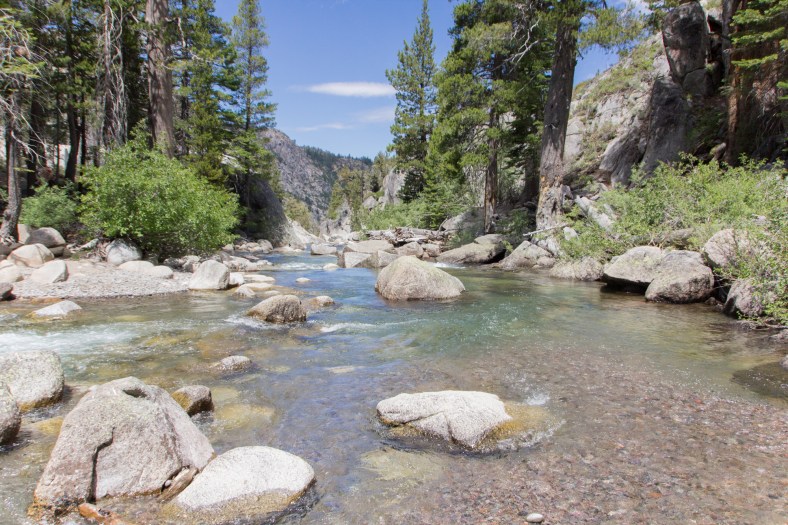
Summit Creek
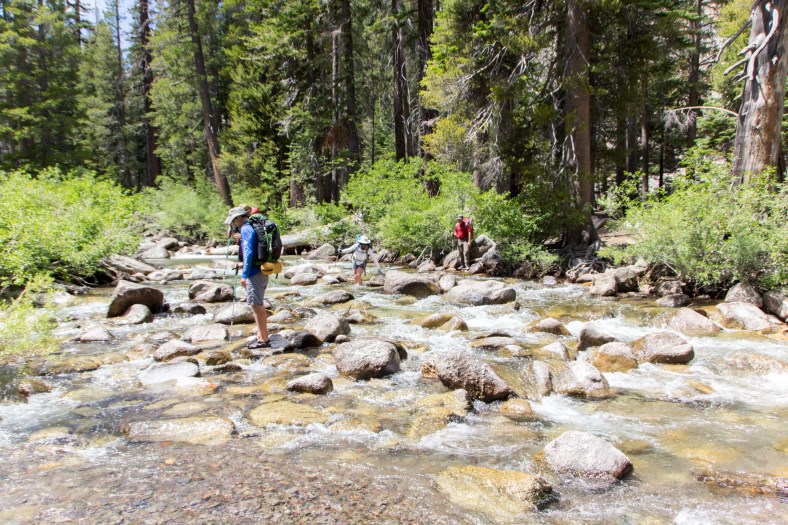
Fording Summit Creek
I seem to always notice a deer or two observing me as I trudge the last few miles through the forest on the way back to the car. They hang around for a bit, maybe pose for a photograph, and then move along on their merry way. It’s a nice way to say good-bye and until next time.
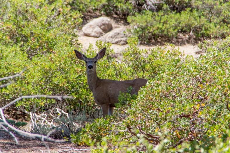
California Mule Deer

Last glimpse towards Granite Dome
